ObstacEELS is a new citizen science initiative, led by ZSL and has been collaboratively developed with four Rivers Trusts and Thames Estuary Partnership as part of our new environmental partnership project, Thames Catchment Community Eels Project.
ZSL has trained project officers from Action for the River Kennet, South East Rivers Trust and Thames21. They have gone on to train 97 local volunteers from communities near the Rivers Mole, Pang, Upper Brent, Ravensbourne and Middle and Lower Kennet. Co-ordinated by the project officers the trained volunteer Eel Force used the newly modified River Obstacles App and River Obstacles App User Guide to identify, log and score passability of obstacles in the river to eel migration.
The app was created and modified by Natural Apptitude.
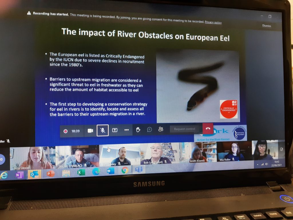
ObstacEELS training is a simple two step process.
An inital Zoom introduction is the first step. This is then followed up by a practical in person training session by the river.
Training is delivered in groups, it’s free and ongoing support and guidance is provided.
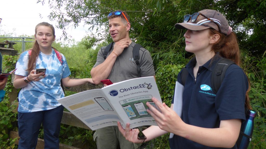
The data collected by volunteers is now helping to shape future practical projects to open up fish passage for the critically endangered European eel.
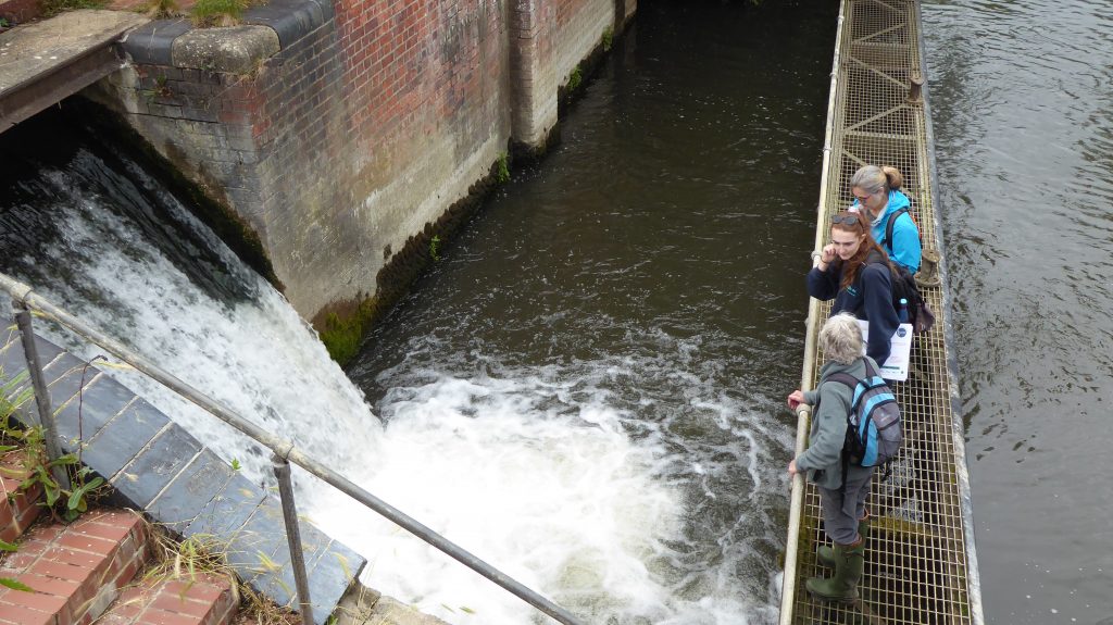
Eels spend the majority of their lives in our freshwater rivers, yet start life thousands of kilometres away in the Sargasso Sea. When young eels reach our rivers, huge numbers of obstacles, such as weirs and sluices prevent them from continuing that migration and being able to disperse upstream to reach healthy river habitats.
Eels need open rivers, good river corridor connectivity to escape pollution, find places to hide and plentiful food sources to successfully grow and mature.
Our progress in collecting barrier data
Mapping and scoring the barriers, and in addition using local and expert knowledge has allowed us to prioritise where to work for the best wins for eels. This could be removal of a barrier or a series of barriers, installation of eel passes or a bypass channel. Improving rivers for eels will also improve rivers for other wildlife species too.
Purple markers show baseline data of existing barriers.
Green markers show ObstacEELS surveyed barriers, made up of previously unrecorded barriers and the existing barriers with more detailed data now collected.
Map made by Thames Estuary Partnership.
Thames Catchment Community Eels Project completed in March 2022, for more information please contact us


